The project looks to use least-cost path analysis in GIS. Currently, the least-cost path model has wide applications, such as planning, road construction, irrigation systems, and pipeline routing (Yu et al., 2003). What still remains to be determined concerns the differences in the algorithm that is used in the model, to what extent the data used in the model can represent the continuous surface of the real world, as well as the effects of assumptions that are made on the output routes (Yu et al., 2003).
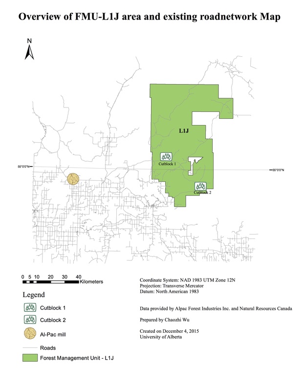
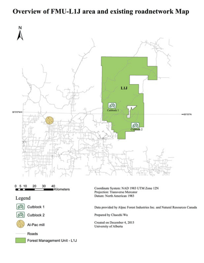
The project is valuable because it produced a framework for designing forest roads from the pulp mill to the productive harvest sites using ArcGIS. In addition, the whole procedure was conducted by referring to the local government’s guide book of road design, the company’s management plan documents and its standards. A three-dimensional illustration of the least-cost path will enhance the forest road planners’ understanding about landscape adjacent to the routes.
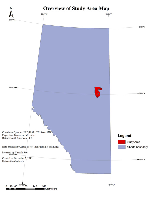
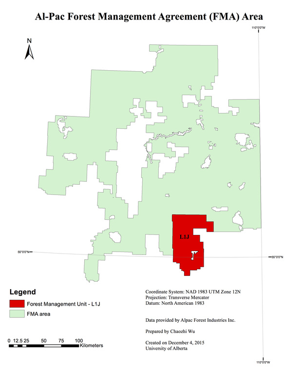
Currently, Al-Pac holds the largest FMA area, approximately 58,120 km2 (Alberta Environment and Parks, 2011). The Al-Pac mill is located in township 69, range 19, west of the 4th meridian, near the Athabasca River.
The project is valuable because it produced a framework for designing forest roads from the pulp mill to the productive harvest sites using ArcGIS. In addition, the whole procedure was conducted by referring to the local government’s guide book of road design, the company’s management plan documents and its standards. A three-dimensional illustration of the least-cost path will enhance the forest road planners’ understanding about landscape adjacent to the routes.
Currently, Al-Pac holds the largest FMA area, approximately 58,120 km2 (Alberta Environment and Parks, 2011). The Al-Pac mill is located in township 69, range 19, west of the 4th meridian, near the Athabasca River.