|
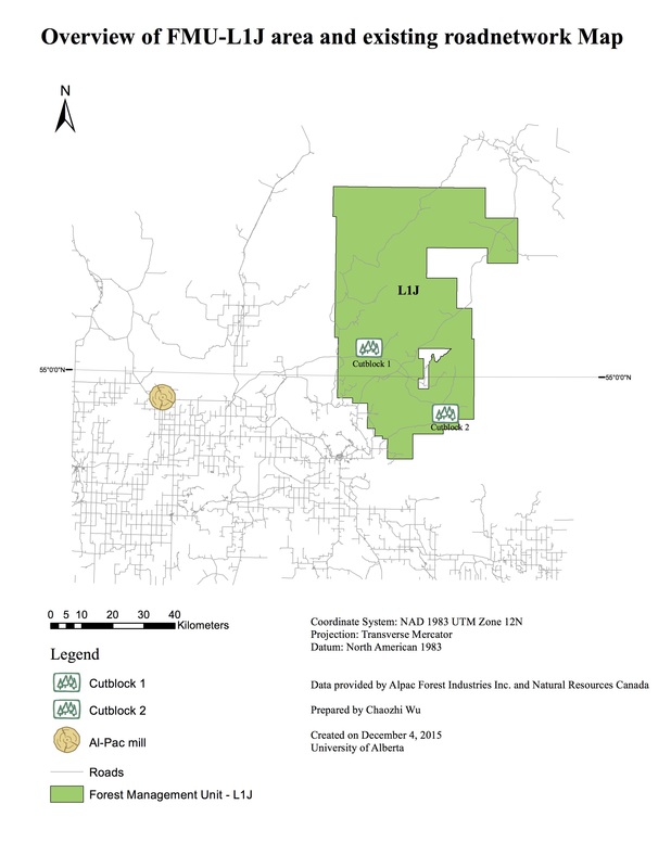
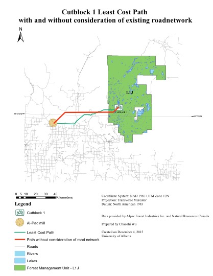
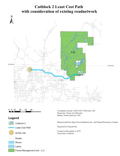
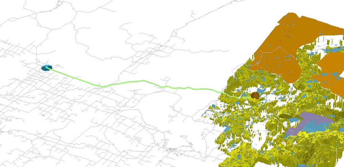
After the above processing, the productive forest sites (see figure on the left) and the least-cost paths (with and without the consideration of the existing road network, see figures below) were generated. Vertical Exaggeration was adjusted to five on the left figure using ESRIArcScene10.1 (can be adjusted via Scene Properties, General Tab) to enhance the topological differences across the landscape.
|